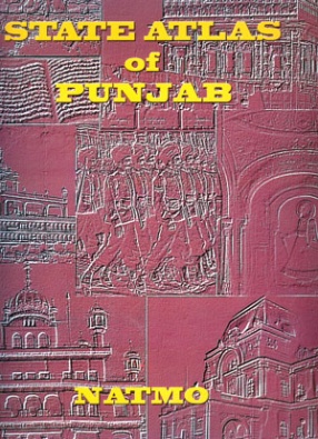
Gandhiji, the father of the nation, considered Punjab the most important province of India. It is the land where the first civilized man trod on earth endowed with the bounties of nature. The state is blessed by seven perennial rivers and innumerable tributaries. These rivers and their tributries spread carpets of alluvial soil on its vast plains.
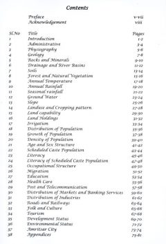
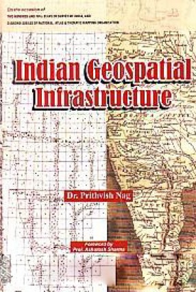
The objective of this atlas is to provide a basis for all round development. This atlas has an additional purpose, i.e. to formulate a strategy which will accelerate the pace of growth in the state. Further, the primary intention of this atlas is to involve potential users from the formative stage. Hence attempt has been made to involve all the line departments in this exercise. The atlas contains a large number of theme based maps that will help to gather the success stories from the State that can be up scaled to accelerate the pace of development.
Punjab is said to have derivedd its name from the five rivers that flow through this region. The word "Punjab" is made up of two Persian words, PANJ meaning five; and AAB meaning water. During different rules and occupations, this territory kept till 1947 when India was partitioned and the larger half went of Pakistan. Further in 1966 the Indian smaller half was further divided into three; Punjab, Haryana and Himachal Pradesh.
Most of Punjab is a fertile plain; towards southeast one finds semi-arid and desert landscape; and a belt of undulating hills extends along the northeast at the foot of the Himalays. Four rivers Ravi, Beas, Satluj and Ghaggar flow across the state in a southwesterly direction. They have numerous small and seasonal tributaries. In addition, Punjab is watered by an extensive canal system. Furthermore, Punjabi culture is reflected in its folk dances, folk songs, arts and crafts.



There are no reviews yet.