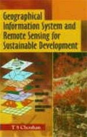
The sustainable development of a country largely depends on judicious exploration and optimum utilisation of its various natural resources. The conventional and time proven techniques are being utilised since ages to achieve this goal but, the results have not been encouraging. The remote sensing techniques, which provide an integrated data base, has been successfully employed for better understanding the numerous operational natural processes and their products, providing thereby, a viable tool for natural resources development. For developmental planning, it is imperative to integrate the various data available from different sources which may be on different scale, format and projections. The geographical information system combines all such data including satellite data, to form a complete system. The development of modern data-gathering techniques and computer-assisted cartography opens new possibilities of data storage their analysis and exchange. The combined use of Geographic Information System (GIS), and digital image processing provide better prospects of resource evaluation, environmental monitoring and disaster forecasting over wider areas within limited time-span with reasonable accuracy. It would be easy to develop predictive model capabilities in order to achieve effective public policy in years to come. This has direct implications for national and regional development. Moreover, the satellite remote sensing plays an effective role in natural resources inventory, desertification/degradation and drought monitoring, geological, geomorphological and environmental hazard mapping. It provides vast scope to explore and analyse resources of underdeveloped regions. Coping with global scenario, pilot studies concentrated on land cover, vegetation index, comparison of studies, surface temperature etc. at micro level and their inter relations become important to understand the integrated. World-wide experience shows that remote sensing and GIS can be very effective tools for solving problems of natural resource management when carefully evaluated and applied within an appropriate conceptual framework. The new age of micro-computers and increased potential for information exchange would aid in assembling many kind of information and analysis to arrived at the useful solutions. Today detailed studies are being conducted using remote sensing and GIS technology, especially for the highlands and the Himalayan region, prone to land degradation, to be used for the formulation of integrated land use plan, resource monitoring and planning etc.
Geographical Information System and Remote Sensing for Sustainable Development (In 2 Volumes)
Out of stock
Out of stock
Free & Quick Delivery Worldwide
reviews
Bibliographic information
Title
Geographical Information System and Remote Sensing for Sustainable Development (In 2 Volumes)
Author
Edition
1st Ed.
Publisher
ISBN
8186832092
Length
viii+425p.
Subjects



There are no reviews yet.