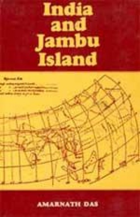
India, i.e. Bharatavarsa and Jambudvipa are sacred lands known from very early times. Their sacredness is accepted in Brahmanic, Buddhist and Jain religious literatures. Jambudvipa is some times identified with the whole of Asia, including India as a part of the continent. Very few people know that India, our sacred motherland, was not the same topographically, in ancient times, as she stands now. The courses of many rivers, very sacred as they have been, have radically changed, giving an entirely new shape to the face of the land. Many islands have either been joined to the mainland or submerged in the sea. The geographical changes have made the identification of places mentioned in ancient literature extremely difficult, if not impossible. The author of this volume, an irrigation engineer by profession, has made a loudable attempt to trace the history of such topographical changes in India, which have taken place since a few centuries prior to the Christian era. The author has used, as his source material, ancient Indian literature – both Brahmanic and Buddhist and accounts of the Greek, Chinese, Arab and Western travelers and geographers. He has started with Ptolemy (140 A.D.) whose is the first complete and reliable account of India and then compared Ptolemy’s data with those available from the Puranas, the Mahabharata, and the Buddhist literature.
India and Jambu Island
In stock
Free & Quick Delivery Worldwide
Bibliographic information
Title
India and Jambu Island
Author
Edition
Reprint
Publisher
Length
viii+343p., Maps; Glossary; Index; 23cm.
Subjects


There are no reviews yet.