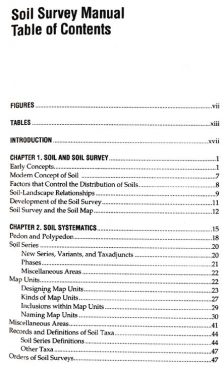
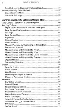
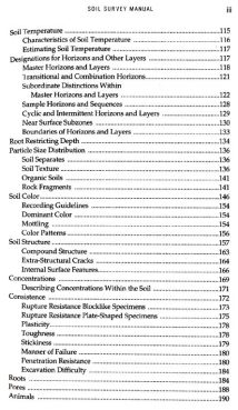
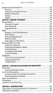
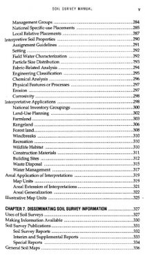
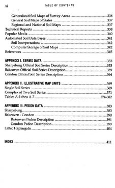
The chapters of the manual are arranged in the approximate chronological order in which the work required for a published soil survey is done. As background for the chapters that follow, the first chapter defines the concepts of soils and the nature of soils as geographic bodies and the second describes the nature and uses of soil surveys, the kinds of soil surveys, and the map units. The succeeding chapters describe procedures and conventions of soil surveys from the start of a survey to its publication. Chapter 3 deals with the attributes of bodies of soil that are mapped and the details of their internal properties. The fourth chapter tells haw to prepare a mapping legend and the descriptive legend, which contains the technical instructions for mapping soils and related activities. Only after these facts are known can the units to be mapped be defined and identified consistently. The fourth chapter also describes the supplies, equipment, and mapping bases required for conducting a soil survey. Data are accumulated during all of these activities. Chapter 5 describes the ways in which data are recorded, stored and retrieved. After the mapping is completed and related data about the soils are gathered, the information must be provided to those who use it in forms, they can understand. Chapter 6, therefore, discusses interpretations of soil surveys. The final product is the published soil survey. Chapter 7 describes the publication of the soil survey of map, the accompanying text, and other publications based on the findings of soil surveys.
Pests of Vegetables: Bionomics and Management
$110.70
$123.00



There are no reviews yet.