Eicher Goodearth

34 books


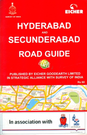


This book is very simple to use. It helps you plan your route to the desired destination. Each map page is overlaid with a grid of letters and numbers. All places in this maps are listed in the index and each name is followed by the page number and the square in which it falls. A reference number has been given where the name could not be accommodated in the map and a list of names against reference numbers is given at the bottom of the page.

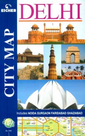
A comprehensive map book for Delhi and neighbouring Noida, Gurgaon, Ghaziabad and Faridabad covering 1134 sq. kms. Fully colour-coded, it gives details down to house numbers. 15,000 names of roads, colonies, buildings, hospitals and other points of interest alphabetically-indexed.

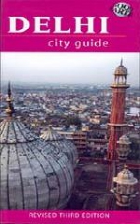
This is the third revised edition of the popular Delhi City Guide. This encyclopedic guidebook has over 700 photographs and architectural drawings and 42 detailed maps. The detailed Practical Information section gives listings of area-wise hotels and restaurants, cinema halls, auditoria etc. Contributions by the best scholars and specialists make this a perfect companion for the intrepid tourist and the armchair traveler. In its third edition, the Delhi City ...

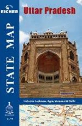
Maps of various Indian states following the same standards as our popular India Road Atlas. The map is on a folded sheet and comes inside a booklet with information about the state. A useful product for all infrastructure investors to a state or any one who has interest in the state either for business or tourism.

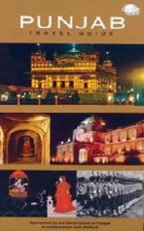
This Travel Guide pieces together the many facets of this robust land and its people to create a picture that encapsulates both the most visible aspects of Punjab's heritage - the Golden Temple - and those less explored - exquisite maqbaras nestled in bylanes, grand forts looming over small towns, pure white gurdwaras set in lush greenery. Highly visual, with over 200 photographs, illustrations and maps, and a detailed Practical Information ...

Maps of various Indian states following the same standards as our popular India Road Atlas. The map is on a folded sheet and comes inside a booklet with information about the state. A useful product for all infrastructure investors to a state or any one who has interest in the state either for business or tourism.

India Road Atlas is a unique product and one of its kind in India. It is an extremely useful product for travelers and all kinds of road users. Be it a weekend off city motorist or a foreign tourist, India Road Atlas brings in a powerful pack of useful information in one handy package. The product is launched is strategic alliance with Survey of India. India Road Atlas contains high quality maps having shaded relief and 3D elevation, National Parks and ...

Maps of various Indian states following the same standards as our popular India road atlas. The map is on a folded sheet and comes inside a booklet with information about the state. A useful product for all infrastructure investors to a state or any one who has interest in the state either for business or tourism.

The guidebook From Ajanta to Ellora is a perfect companion not just for the intrepid tourist but also for the armchair traveller curious to know more about the World Heritage Sites of Ajanta and Ellora. Excavated in the ancient volcanic hills of western India, the rock-cut temples and monasteries at Ajanta and Ellora are some of the most amazing representations of man's creativity and architectural innovation. These excavations some of which began 2000 years ago ...

Bhopal -A Good Earth Guide -brings together different aspects of the multi-faceted Bhopal city, taking the reader on a journey through its history and architectural splendour, exploring grand monuments such as the Taj-ul-Masajid and Gohar in as much detail as the cultural hub of Bharat Bhavan. The highly visual guidebook includes a well-researched chapter on the many tourist destinations to which the city is a gateway, including the World Heritage Sites of Sanchi ...


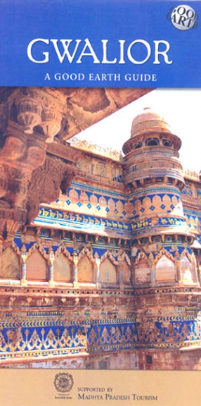
The Gwalior Guide follows the trail of Gwalior’s historical monuments, royal legacy and cultural heritage, showcasing the best the city has to offer. This guidebook takes you on a magical journey through the magnificent Fort, with in-depth historical details and a host of intriguing legends. It also includes the many fascinating sites to which the city is a gateway – the town of Datia with its remarkable seven-storeyed palace, Orchha, the hidden ...


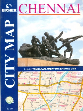
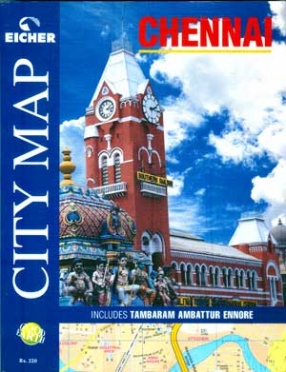
Covering a total of 600 sq kms, this colour-coded map book containing 128 map pages, gives instant access to roads, residential / institutional / industrial areas and commercial complexes. The map covers the entire urban agglomerate including Tambaram, Ambattur and Ennore, and has a detailed index spanning 39 categories.

Maps of various Indian states following the same standards as our popular India Road Atlas. The map is on a folded sheet and comes inside a booklet with information about the state. A useful product for all infrastructure investors to a state or any one who has interest in the state either for business or tourism.
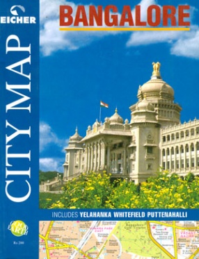
A map book covering 480 sq. kms of Bangalore, including Yelahanka, Whitefield and Putenhalli. The comprehensive index of colonies, roads, commercial complexes, restaurants, hotels and hospitals and other landmark points makes this map as user-friendly as the city itself.


Mumbai. The very name of the megametropolis evokes high-speed images of life in the fast lane. Commerce and culture, fashion an films, glamour and glitz: it is a city that revels in its this-worldliness. Little wonder then that it shines forth as a lodestar for millions, who throng to it, drawn by dreams of a better life.Mumbai is the economic powerhouse of India, pulsating with a life-force quite its own. Not only is it the financial capital, but togegher with ...


