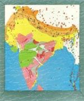

Seismotectonic Atlas (SEISAT) of India and its Environs is a compilation of multi-thematic data base comprising 43 maps (presented in 42 sheets; SEISAT 35 & 42 presented in a single sheet) of 30 x 40 size covering India and adjacent regions of neighbouring countries on 1 : 1 million scale. To present these maps in uniform shape and size and as effects of earthquakes are felt in adjacent regions as well, international boundaries are not depicted in the maps. ...

The 52 Republic Day of India was marked by one of the most destructive earthquakes of all times that has been recorded in the Indian soil. The natural catastrophe inflicted enormous damage to life and property in Kutch and some other districts of Gujarat, thereby plunging the entire Nation in a state of gloom. The Geological Survey of India, the nodal agency for conducting earthquake studies in the country, took up the multifaceted investigations of the event on ...

