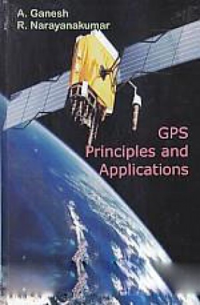
R. Narayankumar


The advent of the Global Positioning System (GPS) has irreversibly transformed the landscape of the world. Developed by the U.S. Military, GPS is a constellation of satellites that transmit their signals to receivers all over the world. GPS enables geodetic positioning to be accomplished without having to physically see or measure distances between survey points. Using GPS, a survey that once took days or weeks to complete can now be done in a few hours at a much ...
