Atlases & Maps

285 books







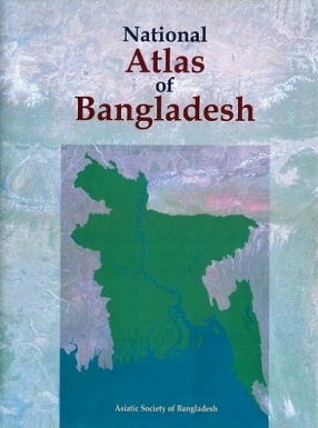
The National Atlas of Bangladesh is a comprehensive collection of maps prepared to portray the spatial dimensions of the country's historical, politico-administrative, physical, environmental, infrastructural, demographic, economic, social, cultural and regional/local features. The large volume of maps, 425 in number, visually illustrate the impressive records of development in independent Bangladesh. The maps are accompanied by short texts, tables and figures. ...

The last 90 years have been a glorious period in Himalayan Exploration. As explorers from across the globe have attempted to discover the Himalaya, the Himalayan Club has played a pioneering role in chronicling their expeditions for posterity. The accompanying maps, from the Himalayan Journal, are a historical treasure capturing various facets of exploration over time. Legendary explorations like Shipton and Tilman’s route into Nanda Devi Sanctuary, Maurice ...

A Gender Atlas of India is a seminal body of work which comprehensively maps and grades India’s performance from 2001 to 2016 on issues of concern for women. Taking into account 8 overall indicators and 28 sub-indicators, it looks at how India is performing on various aspects, including sex ratio, women’s education, employment, health, political participation and representation; and prevention of crimes against women. Unlike previous attempts, this ...


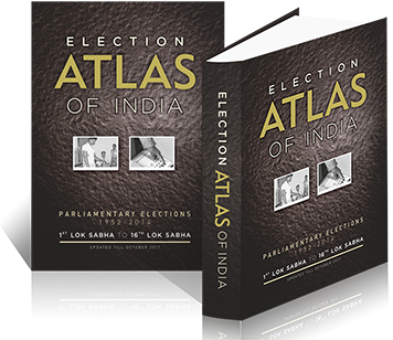
A first-of-its-kind Election Atlas of India depicts a journey of progression of parliamentary elections since independence in the context of changing socio-political and demographic scenario with many electoral parameters and aspects hitherto unavailable at one place. Spread over in over 432 pages in A-3 paper size format book, these parameters and aspects are depicted in the form of impressive graphs, charts and thematic maps based on GIS technology with ...

The Survey Department of Sri Lanka which functions under the Ministry of Lands and Land Development is proud to launch the second edition of the National Atlas, since its first publication in 1988 and thereby marking yet another milestone in its long history of 208 years. The first copy of it will be presented to His Excellency the President of the Democratic Socialist Republic of Sri Lanka, Mahinda Rajapaksa at a ceremony to be held on the 16th of July at Temple ...

Vol. I. The Indian empire : descriptive -- vol. II. The Indian empire : historical -- vol. III. The Indian empire : economic -- vol. IV. The Indian empire : administrative -- vol. V. Abazai to Arcot -- vol. VI. Argaon to Bardwan -- vol. VII. Bareilly to Berasia -- vol. VIII. Berhampore to Bombay -- vol. IX. Bomjur to Central India -- vol. X. Cent.

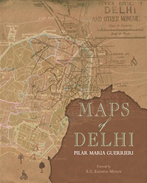
This groundbreaking publication presents an exquisite study of the maps of Delhi, from the onset of the 19th century till the master plan of 2021. It is the first organised collection of the maps of the city, a breathtakingly illustrated cartographic history of the capital. Dr Guerrieri has described each map individually, elaborating on its idiosyncrasies, aesthetic details, and rich historical information. The book includes a chronology of magnificent ancient ...

The first volume containing maps is a facsimile edition of Rennell's 'A Bengal Atlas' first published in 1780. The second colume contains Rennell's The Journal', 'A Description of the Roads in Bengal and Bihar' An Account of the Ganges and Burrampooter Rivers', and a biogrphy written in 1895 of James Rennell by Clements R. mankham.
These two classic volumes, especially the first volume frequently referred by the historians and geographers, had long been rare. ...


This book, enriched with beautiful maps, presents a graphic picture of agriculture and its growth in the state of Madhya Pradesh. Describing basic geography of the state, it discusses at length important rivers and river basins, water bodies and canals, soil order and texture, soil irrigability and land irrigability, land capability and climate.
Further taking a close look at the demography of Madhya Pradesh, covering the period from 1901 to 2011, it describes in ...

The wind rose is a method of graphically representing the occurrence of winds at a location, showing their strength, direction and frequency. It is a very useful representation as a large quantity of data has been summarised in a simple graphical plot.
The wind roses in this publication are based on wind data recorded at 1200 UTC (1730 IST) by 180 surface meteorological observatories under the network of India Meteorological Department. This publication is ...


The volume presents qualitative and quantitative information on physical and cultural themes from published and unpublished sources that relate to administration, demography, land, climate, water, soil and infrastructure. Providing maps, charts, graphs and tables, the comprehensive study discusses important aspects of geology, forests, land use pattern, agro-climatic features, rainfall patters, water balance and water resources, industry, road and postal networks ...

