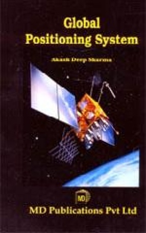
A GIS is most often associated with maps. A map, however, is only one way you can work with geographic data in a GIS, and only one type of product generated by a GIS. This is important, because it means that a GIS can provide a great deal more problem-solving capabilities than using a simple mapping program or adding data to an online mapping tool. A GIS is a set of intelligent maps and other views that show features and feature relationships on the earth's surface. Maps of the underlying geographic information can be constructed and used as "windows into the database" to support queries, analysis and editing of the information.
ABOUT THE AUTHOR Akash Deep Sharma
Aakash Deep Sharma has obtained his Master of Computer Applications from Jaipuria Institute of Management, Vasundhara (Ghaziabad), Vasundhara (Ghaziabad), affiliated to U.P. Technical University, Lucknow. He has made various software and projects for Government, Semi Government and Private organizations. He has made and implemented software for tracking and monitoring of traffic system through global positioning system. He has been awarded Fellowship, Research project Grants from University and Financial assistance from Private organizations. He is an active member of several professional societies. Presently he is developing applications and working on web integrations for shopping charts, GPS System and modifying the CMR software, etc. at Nimble Technologies, New Delhi.


There are no reviews yet.