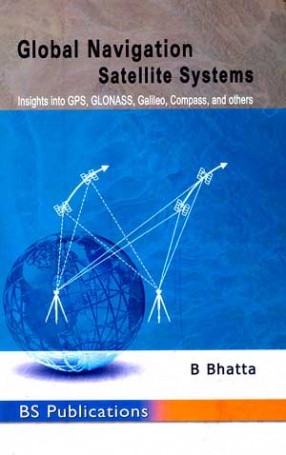
The book provides a thorough understanding of the basic principles and techniques of GNSS. Beginning with the history and basic concepts of GNSS, the book gives an exhaustive coverage on every GNSS constellation, GNSS signals, errors and accuracy issues, positioning methods, augmentations, satellite geodesy, and GNSS receivers. It also presents wide spectrum of GNSS applications and practical issues involved in surveying, mapping and navigation.
This book is specifically designed to serve as a basic text for undergraduate and postgraduate courses in civil/construction engineering, geoinformatics/geomatics, geotechnical engineering, surveying, communication engineering, marine/naval engineering, aviation engineering, transportation engineering, navigation services, and piloting. It will equally meet the requirements of postgraduate courses in geological science, environmental science, geosciences, earth sciences, agricultural sciences, geography, geophysics, geodesy, and earth resources management.
Owing to its lucid style and presentation of advanced topics, as well as guidance on surveying, mapping, and navigation along with numerous references, the book will also be useful for the researchers and practising professionals.
Salient features
* Detailed information on GPS, GLONASS, Galileo, compass, and other regional and augmented systems.
* Practical guidance for surveying, mapping, and navigation.
* Sheds light on the latest developments and modern trends of GNSS.
* Detailed glossary of related terms.
ABOUT THE AUTHOR B. Bhatta
B. Bhatta is currently a Course Coordinator in the Computer Aided Design Centre of Jadavpur University, Kolkata. He has more than 13 years of industrial , teaching and research experience in remote sensing, GNSS, and GIS. He has authored many research papers and articles in various journals and magazines. He has also authored several textbooks on Remote Sensing, GIS, GNSS, and CAD. He has been instrumental in initiating a large number of courses on Remote Sensing, GIS, and GNSS to promote Geoinformatics technology.
 Glimpses of China: History and Culture, 1200 to1949: Letters from Grandfather
1 × $18.90
  Herbal Soaps & Detergents Handbook
1 × $90.00
  Spiritual Revolution a Way Out: A Personal Program for Building a Spiritual Life Outside the Walls of Traditional Religion
1 × $22.50
  Sanghol and the Archaeology of Punjab
1 × $147.60
  A.R. Rahman: The Spirit of Music
1 × $16.20
  Advances in Dynamics of Structures and Materials (In 2 Volumes)
1 × $213.30
 Glimpses of China: History and Culture, 1200 to1949: Letters from Grandfather
  Herbal Soaps & Detergents Handbook
  Spiritual Revolution a Way Out: A Personal Program for Building a Spiritual Life Outside the Walls of Traditional Religion
  Sanghol and the Archaeology of Punjab
  A.R. Rahman: The Spirit of Music
  Advances in Dynamics of Structures and Materials (In 2 Volumes)


There are no reviews yet.