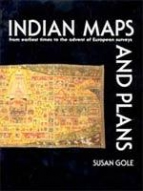
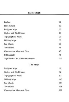
For long it was thought that there was no Indian style of map-making to depict the known world and the way to travel across it. The cosmographies had a wider vision, and Indian travelers were believed to use descriptioins and guides, not maps. Now over two hundred maps have been discovered, covering a wide range: pilgrimage maps of religious town, route maps of important highways, military plans, and topographical maps of whole provinces. These maps and plans have been illustrated here, many of them in their original colour. They have been grouped into eight categories: early examples, perhaps precursors of maps; religious maps; globes and world maps; topographical maps; military maps; sea charts; town plans; and construction maps and plans. The many languages and scripts that are used to explain them have been translated so that they may be understood throughout the world. Contemporary maps provide a glimpse of how people viewed the world around them in a way that no written account can do. They allow no ambiguity in what they portray. That they are not accurate does not detract from their value as documents of historical, sociological, artistic and geographical imporatance. This is the first book to deal exclusively with Indian maps and plans made with no western influence. Even their existence was largely unknown, and many books dealilng with the history of or routes and towns would have benefited if the plans that are illustrated here had been available earlier. Their publication now is likely to lead to many more being discovered, so that a comprehensive picture of Indian mapping can be developed.
Indian Maps and Plans: From Earliest Times to the European Surveys
In stock
Free & Quick Delivery Worldwide
reviews
Bibliographic information
Title
Indian Maps and Plans: From Earliest Times to the European Surveys
Author
Edition
1st ed.
Publisher
ISBN
8185054584
Length
207p., Plates; Maps; Bibliography; 29cm.
Subjects



There are no reviews yet.