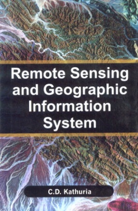
Geographic information systems provide a method for integrating and analysing spatial information such as where is the nearest movie theatre? alongside related non-spatial information. GIS have three major capabilities and can operate on a range of platforms. A map, however, is only one way you can work with geographic data in a GIS, and only one type of product generated by a GIS. The book starts with the introduction of GIS and its various components and functionalities–and goes on to cover map projection systems, different data models and data input, spatial analysis and surface modelling aspects of GIS. The book offers a step-by-step appreciation of geographical information sciences as a discipline and geographic information system as a tool to understand the real world, to the one who strives to change the world in a better and more meaningful way.
Remote Sensing and Geographic Information System
In stock
Free & Quick Delivery Worldwide
reviews
Bibliographic information
Title
Remote Sensing and Geographic Information System
Author
Edition
1st ed.
Publisher
Centrum Press, 2011
ISBN
9789381293485
Length
viii+296p., Illustrations; Bibliography; Index; 23cm.
Subjects


There are no reviews yet.