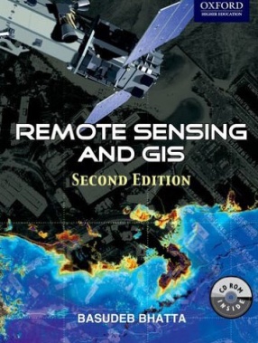
Beginning with the history and basic concepts of remote sensing and GIS, the book gives an exhaustive coverage of optical, thermal and microwave remote sensing, global navigation satellite systems (such as GPS), digital photogrammetry, visual image analysis, digital image processing, spatial and attribute data model, geospatial analysis, and planning, implementation and management of GIS. It also presents the modern trends of remote sensing and GIS with an illustrated discussion on its numerous applications. The appendices provide the prerequisites required for understanding remote sensing and GIS technology.
Remote Sensing and GIS
In stock
Free & Quick Delivery Worldwide
Bibliographic information
Title
Remote Sensing and GIS
Author
Edition
2nd. ed.
Publisher
Oxford University Press, 2015
ISBN
0198072392, 9780198072393
Length
xxiv+716p., 16 Pages of Plates; Illustrations; Colour; Maps
Subjects


There are no reviews yet.