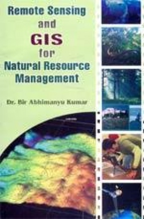
The present work "Remote Sensing and GIS for Natural Resource Management" gives an overview of remote sensing and geographic information system applications for mapping, monitoring, assessment and management of natural resources. Remote sensing and GIS are integrated system of information gathering and analysis of alternative method for natural resource management. The recent development in the field of remote sensing and GIS based Natural Resource Management is due to the successful launching of a series of remote sensing satellites equipped with advanced sensors. The use of Remote Sensing and Geographic Information System (GIS) gave scope for immense opportunities in the field of large scale mapping, updating of existing geographical maps, project planning, decision-making and natural resource management.
ABOUT THE AUTHOR Bir Abhimanyu Kumar
Dr. Bir Abhimanyu Kumar is presently working as a lecturer in Environmental studies at galgotias College of Engineering & technology (GCET), Greater Noida (U.P.). Before joining GCET he also taught at LIMT college of Engineering, greater Noida. Dr. Abhimanyu earned his B.Sc. (Hons.) degree in Zoology from Banaras Hindu University (BHU)> he pursued his M.Sc. and Ph.D. from school of Environmental sciences, Jawaharlal Nehru university, New Delhi. He has also qualified for the UGC/NET and ARS/NET in Environmental sciences and CSIR-UGC/NET in earth, Atmospheric and Planetary sciences. He also has been trained at National remote sensing Agency (NRSA), Hyderabad on ‘Remote sensing technology and its Applications’. he is also trained in GIS application by C-DAC (erstwhile ER&DCI), Noida. Dr. Abhimanyu has published a scientific research paper in international journal and various articles in Indian Magazines. His principal interests in research field are in the Environmental sciences, remote sensing and GIS applications, natural resource Management and Water resources. He keeps special interests in Environmental Impact Assessment, Climate Change, Environmental Policies and Biodiversity.


There are no reviews yet.