The advancement of Electronics Technology in the last decade or two has had immense influence on almost all branches of scientific, as well as day-to-day activities of mankind; and the profession of Land Surveying and Cartography is no exception to this phenomenon. The availability of space craft and aircraft-borne sensor data in digital form and the development of the high speed electronic computers, with their immense storage capacities, online real time access facilities, their easy availability in the country and gradually reducing cost of acquiring such systems have been some of the factors leading to increased use of digital processing systems in preference to analog systems.
Almost all the professionals involved in any area involving the use of maps or charts are fully aware of the long processes and time delays involved in preparing such maps and charts with the help of the conventional cartographic methods engaging drafting personnel. It is also well-known that by the time such maps or charts are made available to the actual users they become out of date to a considerable extent and need revision. The modern methods of digital cartography considerably reduce, if not totally eliminate, many of these disadvantages. By establishing appropriate cartographic data-bases drawing of maps, plans or charts is possible almost instantaneously and the process of updating the digital databases on computer systems is also considerably faster.
With the various developmental activities envisaged in the Five-Year Plans of our country in the coming decade, an up-to-date information system is an absolute necessity. The information system concerning the land and water resources will have to be based on cartographic data-bases which have to be created.
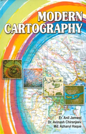
This Book will be of immense help to all those contemplating to acquire expert knowledge of cartography and related techniques.




There are no reviews yet.