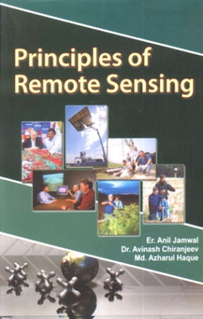
Principles of Remote Sensing

In stock

Free & Quick Delivery Worldwide

Remote sensing is the small or large scale acquisition of information of an object or phenomenon, by the use of either recording or real time sensing device that are wireless, or not in physical or intimate contact with the object  (such as by way of aircraft, spacecraft, satellite, buoy, or ship). In practice, remote sensing is the stand-off collection through the use of variety of devices for gathering information on a given object or area. Thus, Earth observation or weather satellite collection platforms, ocean and atmospheric observing weather buoy platforms, the monitoring of a parolee via an ultrasound identification system. Magnetic Resonance Imaging (MRI), Positron Emission Tomography (PET), X-radiation (X-RAY) and space probes are all examples of remote sensing.

In modern usage, the term generally refers to the use of imaging sensor technologies including: instruments found in aircraft and spacecraft as well as those used in electrophysiology and is distinct from other imaging related fields such as medical imaging.

There are two main types of remote sensing: passive remote sensing and active remote sensing. Passive sensors detect natural radiation that is emitted or reflected by the object or surrounding area being observed. Reflected sunlight is the most common source of radiation measured by passive sensors.

Examples of passive remote sensors include film photography, Infrared, charge-coupled devices and radiometers. Active collection, on the other hand, emits energy in order to scan objects and areas whereupon a sensor then detects and measures the radiation that is reflected or backscattered from the target.

This book will be of immense help to all those contemplating to acquire expert knowledge of Remote Sensing.

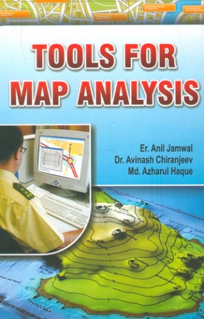
ABOUT THE AUTHOR Anil Jamwal

Er. Anil K. Jamwal holds Postgraduate qualification in Remote Sensing, Botany, Ecology & Environment. Presently he is the Principal Scientist at Geo-Informatics Institute of India, New Delhi offering M.Sc. Degree in Geo-Informatics under the aegis of Sikkim Manipal University of Health, Medical and Technological Sciences. He has guided more than 150 researchers for analyzing the satellite data with a view to executing programmes and projects related to forest development, river valley projects, hydroelectricity, rural and urban housing.

ABOUT THE AUTHOR Avinash Chiranjeev

Dr. Avinash Chiranjeev, M.S., Ph.D is the Head of the IT Division at the WIBP/IIEE International Network headquartered at New Delhi. He has been associated with the most important programmes of WIBP and IIEE related to computer assisted Non Formal and continuing Education Programme, Environmental Education Information Systems and Management, natural resources Database network besides organization and implementation of scientific and innovative researchers for the optimization of the available data.

ABOUT THE AUTHOR Azharul Haque

Mohd. Azharul Haque is a Scientist and National Counsellor at The Global  Open University Nagaland. He has been the Chief of Training at Environmental Laboratory at the Indian Institute of Ecology an Environment New Delhi of conducting programmes related to pollution control including measurement of pH, condutivity, dissolved oxygen, BOD, COD, and other parameters. He has been participating in different congresses and conventions besides presenting his papers related to ecology, biochemistry, pollution, biotechnology.

reviews

0 in total

There are no reviews yet.

Bibliographic information

Title
Principles of Remote Sensing
Author
Edition
1st ed.
Publisher
ISBN
9788171394203
Length
viii+228p.
Subjects