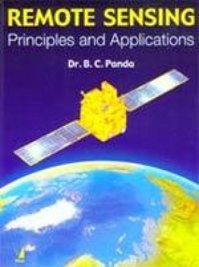
Remote Sensing has already been demonstrated as a powerful tool for collection and classification of spatio-temporal data, while GIS is undoubtedly considered as a powerful tool for the management and analysis of such date. Thus both these systems are complementary to each other. The book designed to serve as a text book for graduate and post-graduate students, presents a systematic and convincing exposition of the science and technology of Remote Sensing as a cultural level so that is understood by the young and adult learners alike. The book is meticulously planned to offer conceptual clarity and understanding to the readers on the high-tech subjects of Remote Sensing, GIS and GPS. Every chapter of this book is appended by Suggestions for Supplementary Reading in which large number of reference materials – books and research papers, are meticulously chosen and presented for developing continued interest and creative imagination in such candidates who can embark upon innovative work in their respective fields of specialization using the powerful Remote Sensing and GIS techniques.
Handbook of Sorghum
$68.40
$76.00


There are no reviews yet.