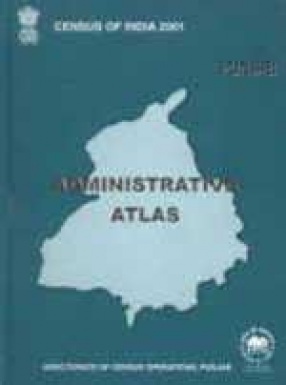
The Present volume ‘Administrative Atlas-Punjab’, primarily aims to portray administrative boundaries as they existed at the time of censuses spreading over 1951-2001. The outer boundary of the state on all these maps is as per the jurisdiction in 2001. There are two sections. Section-1 includes 7 maps showing administrative divisions (one for each decade) and 9 thematic maps including one map on jurisdictional changes during 1991-2001. Section-II incorporates 17 district maps and 72 tahsil maps. Each district map is preceded by basic demographic data while list of villages in tahsil are given together in the end of each district map.
Census of India 2001: Punjab Administrative Atlas
In stock
Free & Quick Delivery Worldwide
reviews
Bibliographic information
Title
Census of India 2001: Punjab Administrative Atlas
Author
Edition
1st ed.
Publisher
Length
xii+224p., Tables; Maps.
Subjects


There are no reviews yet.