Eicher Goodearth
34 books


This book is very simple to use. It helps you plan your route to the desired destination. Each map page is overlaid with a grid of letters and numbers. All places in this maps are listed in the index and each name is followed by the page number and the square in which it falls. A reference number has been given where the name could not be accommodated in the map and a list of names against reference numbers is given at the bottom of the page.
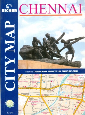
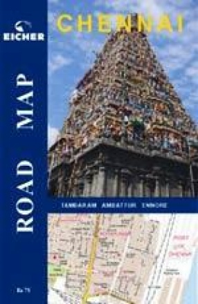
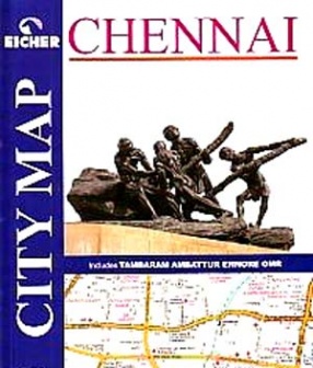
Covering a total of 600 sq kms, this colour-coded map book containing 128 map pages, gives instant access to roads, residential / institutional / industrial areas and commercial complexes. The map covers the entire urban agglomerate including Tambaram, Ambattur and Ennore, and has a detailed index spanning 39 categories.
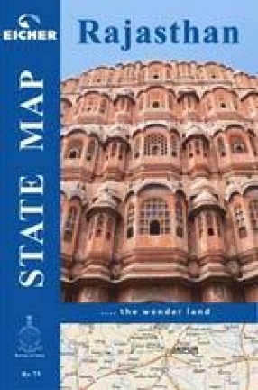
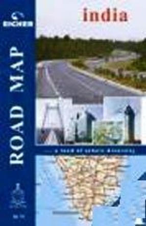
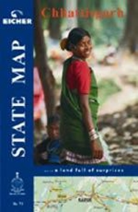
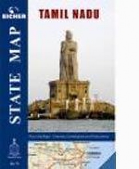
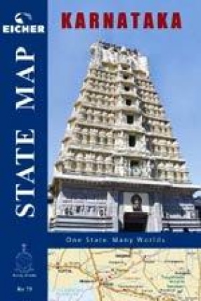
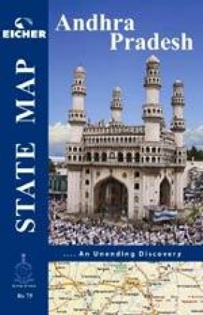
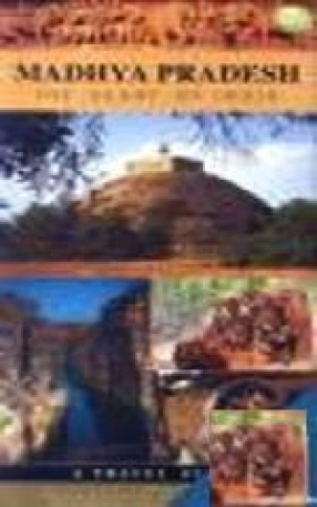
Maps of various Indian states following the same standards as our popular India Road Atlas. The map is on a folded sheet and comes inside a booklet with information about the state. A useful product for all infrastructure investors to a state or any one who has interest in the state either for business or tourism.
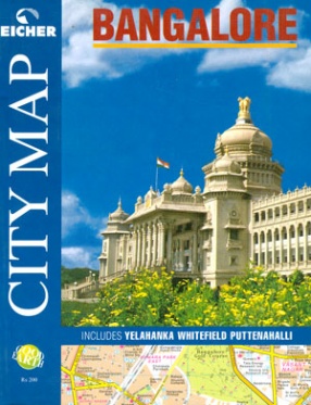
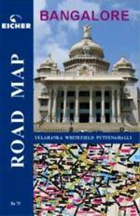
A map book covering 480 sq. kms of Bangalore, including Yelahanka, Whitefield and Putenhalli. The comprehensive index of colonies, roads, commercial complexes, restaurants, hotels and hospitals and other landmark points makes this map as user-friendly as the city itself.
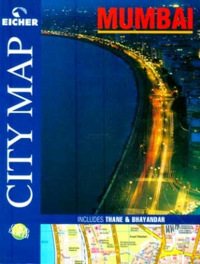
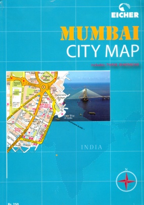
Mumbai. The very name of the megametropolis evokes high-speed images of life in the fast lane. Commerce and culture, fashion an films, glamour and glitz: it is a city that revels in its this-worldliness. Little wonder then that it shines forth as a lodestar for millions, who throng to it, drawn by dreams of a better life.Mumbai is the economic powerhouse of India, pulsating with a life-force quite its own. Not only is it the financial capital, but togegher with ...
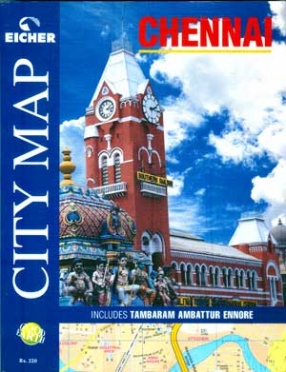
It follows the same standards as our popular city map range of product. However, provide the whole city at a glance in one large single sheet. This is extremely useful for a overall view and understanding of the city. The map is indexed and easy navigation is possible to all Points of Interest through alphabetical index. It comes as a Z folded sheet neatly tugged into a booklet filled with useful information about the city.
It follows the same standards as our popular city map range of product. However, provide the whole city at a glance in one large single sheet. This is extremely useful for a overall view and understanding of the city. The map is indexed and easy navigation is possible to all Points of Interest through alphabetical index. It comes as a Z folded sheet neatly tugged into a booklet filled with useful information about the city.
This book offers an entry into Chamba nestled in the heart of the Himalayas, with its steep mountain ranges, sparkling rivers and lush valleys. Beginning with the establishment of Bharmour, with its elegant complex of ancient temples through to the growth of Chamba town and its emergence as a reputed centre for temple building and miniature painting and, in relatively modern times, the creation of Dalhousie, one of India's most restful hill stations, this book ...
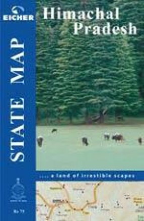
Maps of various Indian states following the same standards as our popular India Road Atlas. The map is on a folded sheet and comes inside a booklet with information about the state. A useful product for all infrastructure investors to a state or any one who has interest in the state either for business or tourism.
With this book we hope to bring the splendid temples of Himachal -along with the beautiful sculpture and painting with which they are embellished and the intriguing legends that surround them - from the shelter of snow-peaked mountains into the spotlight. We hope that readers will be inspired by the over 450 specially-commissioned photographs and deeply researched and informative text to visit this magnificent region, not just for its enchanting topography ...
Maps of various Indian states following the same standards as our popular India Road Atlas. The map is on a folded sheet and comes inside a booklet with information about the state. A useful product for all infrastructure investors to a state or any one who has interest in the state either for business or tourism.
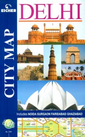
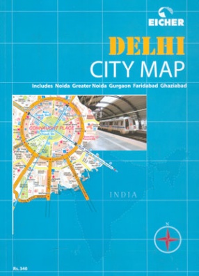
A comprehensive map book for Delhi and neighbouring Noida, Gurgaon, Ghaziabad and Faridabad covering 1134 sq. kms. Fully colour-coded, it gives details down to house numbers. 15,000 names of roads, colonies, buildings, hospitals and other points of interest alphabetically-indexed.
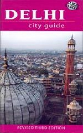
This is the third revised edition of the popular Delhi City Guide. This encyclopedic guidebook has over 700 photographs and architectural drawings and 42 detailed maps. The detailed Practical Information section gives listings of area-wise hotels and restaurants, cinema halls, auditoria etc. Contributions by the best scholars and specialists make this a perfect companion for the intrepid tourist and the armchair traveler. In its third edition, the Delhi City ...