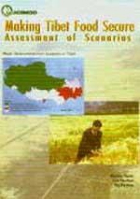
The Tibetan plateau is a vast area of soaring mountains, moving glaciers, high altitude plains, turquoise lakes, and steep gorges. This high mountain area covers over one-third of the Hindu Kush-Himalayas (HKH) and one-fifth of the area of China, along with smaller parts of most neighbouring countries in the region. The great rivers of Asia originate in this area, including: the Brahmhaputra (Yalongzanpo), the Ganges/Pong Qu, the Indus (Shiquan He), the Mekong (Lancang), the Yangtze, and the Yellow rivers. Averaging around 4,000 metres above sea level, much of the central and western parts of the Tibetan plateau receive limited rainfall. Low temperatures and limited arable land also constrain the growing season. The Tibet autonomous region of China occupies 1.2 million square kilometers of this region with more than 2.5 million Tibetan inhabitants. Although agricultural and pastoral systems have evolved over the millennia to provide uniquely adapted subsistence livelihoods, most of the population depends on food production from environmentally fragile and socioeconomically marginal production systems. Livelihoods are vulnerable to weather and outside forces, and subsistence depends on combining agriculture with pastoralism and trade.
Organic Sikkim: Leading the Change
$54.00
$60.00




There are no reviews yet.