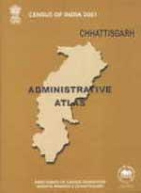
The Administrative Atlas volume is a part of census publications. This atlas volume of Chhattisgarh is the first of its kind which contains information on the jurisdictional changes which occurred during 1951-2001 in the state along with additional information on various census data of 2001, such as, population growth 1991-2001, density, sex ratio, literacy, female literacy and main workers at districts level. It will serve expectedly the need of the researchers, planners, geographers, administrator and other data users. The administrative atlas contain two parts i.e., Part I : administrative maps of the state from 1951 to 2001 and thematic maps depicting census information on different topics. Part II : include map of jurisdictional changes during 1991-2001 alongwith district maps, showing all relevant tahsil/C.D. block boundary, headquarters with name, main river and their tributaries, national highway, state highway and other important metalled roads, important water features, rail and other important physical and cultural features as per district census handbook maps. Further this volume contains sub-district maps, i.e., tahsil maps shown all revenue villages, boundaries with permanent location code number as per census 2001.
Census of India 2001: Chhattisgarh Administrative Atlas
In stock
Free & Quick Delivery Worldwide
reviews
Bibliographic information
Title
Census of India 2001: Chhattisgarh Administrative Atlas
Author
Edition
1st ed.
Publisher
Length
xii+267p., Maps.
Subjects


There are no reviews yet.