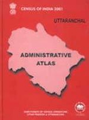
The present volume of newly created state Uttaranchal comprises of two parts — Part-I and Part-II. Part-I covers the administrative boundaries at the time of various censuses (1951-1991) as per jurisdiction of Census 2001. Beside these maps, 9 thematic maps, viz., population growth rate, distribution of population, density of population, sex ratio, sex ratio in age group 0-6, literacy, female literacy, growth of towns, main workers are given in this part. Besides part-II of this volume deals with districts and Vikas Khand maps as stated above. This atlas is very useful for administrators, technocrats specially those engaged in planning and for scholars engaged in the field of research and require ready made frame for their projects.
Census of India 2001: Uttaranchal Administrative Atlas
In stock
Free & Quick Delivery Worldwide
reviews
Bibliographic information
Title
Census of India 2001: Uttaranchal Administrative Atlas
Author
Edition
1st ed.
Publisher
Length
xii+216p., Maps
Subjects



There are no reviews yet.